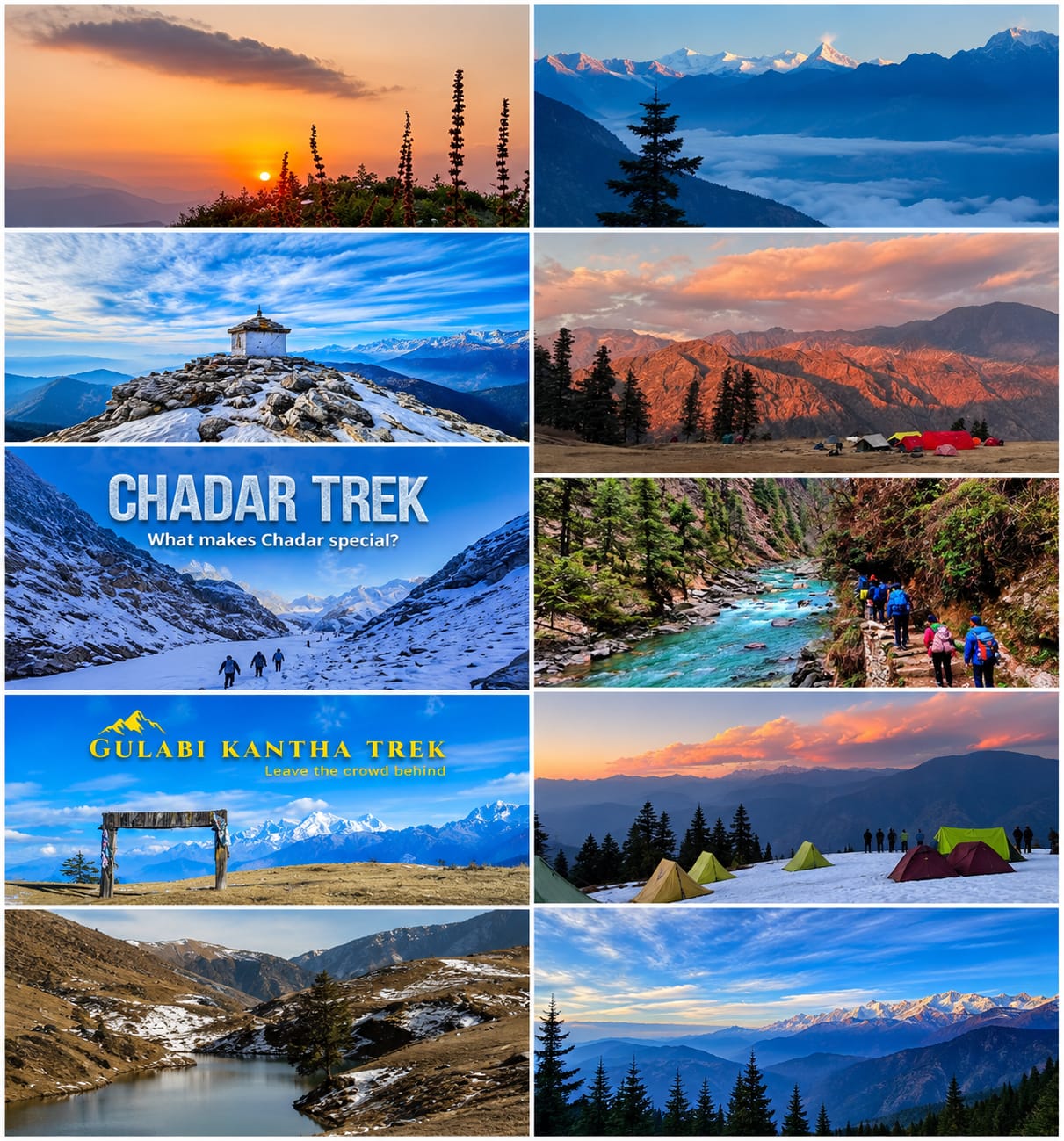
Best Winter Treks in India 2026–27: Snowfall, Weather, Temperature and Complete Trekking Guide
Winter in India offers a completely different Himalayan experience. Snow-covered forests, frozen lakes, white mountain peaks and peaceful alpine meadows make winter trekking an unforgettable adventure.
From the famous Kedarkantha Summit to the beautiful Brahmatal Lake and the panoramic mountain views of Kuari Pass, India has several winter trekking destinations for beginners and experienced trekkers.
If you are planning a Himalayan adventure between December 2026 and February 2027, this guide will help you choose the right trek according to weather, temperature, snowfall, difficulty and available time
Which Are the Best Winter Treks in India for 2026–27?
Some of the best winter treks in India are located in Uttarakhand, Himachal Pradesh, West Bengal and Ladakh.
The following destinations offer different winter trekking experiences, from easy weekend trails to challenging high-altitude adventures.
| Trek Name | Approx. Highest Altitude | Duration | Difficulty | Base Village |
|---|---|---|---|---|
| Kedarkantha | 3,810 m / 12,500 ft | 5–6 days | Easy–Moderate | Sankri |
| Brahmatal | 3,734 m / 12,250 ft | 5–6 days | Moderate | Lohajung |
| Dayara Bugyal | 3,750 m / 12,300 ft | 4–5 days | Easy–Moderate | Raithal |
| Kuari Pass | 3,815 m / 12,516 ft | 5–6 days | Moderate | Tugasi / Joshimath area |
| Chopta–Tungnath–Chandrashila | 3,690 m / 12,106 ft | 3–4 days | Moderate in snow | Chopta |
| Nag Tibba | 3,022 m / 9,915 ft | 2–3 days | Easy–Moderate | Pantwari |
| Gulabi Kantha | Around 4,000 m / 13,123 ft | 5–7 days | Moderate | Hanuman Chatti |
| Har Ki Dun | 3,566 m / 11,700 ft | 6–7 days | Easy–Moderate | Sankri |
| Chadar Trek | Around 3,390 m / 11,120 ft | 8–9 days | Difficult | Leh |
| Sandakphu | 3,636 m / 11,929 ft | 5–7 days | Moderate | Manebhanjan |
1. Kedarkantha Trek – Best Winter Summit Trek in India
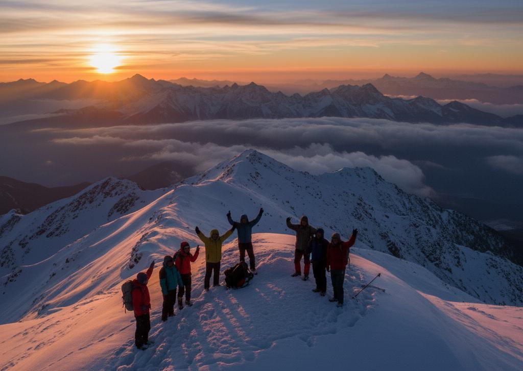
The Kedarkantha Trek is one of the most popular winter trekking destinations in India. Located in the Uttarkashi district of Uttarakhand, this trek is known for its beautiful snow-covered forests, mountain campsites and panoramic summit views.
The journey generally begins from Sankri village and passes through Juda Ka Talab, forest trails and Kedarkantha Base Camp.
From the summit, trekkers can enjoy views of Himalayan peaks such as Swargarohini, Bandarpoonch and Kala Nag.
Kedarkantha Trek Details
Location: Uttarkashi, Uttarakhand
Starting Point: Sankri Village
Highest Altitude: Approximately 3,810 metres
Trek Distance: Approximately 20 km
Duration: 5–6 days
Difficulty: Easy to Moderate
Kedarkantha Weather and Temperature 2026–27
Winter is the main attraction of this trek. December usually brings colder conditions, while January and February can offer deeper snow at higher camps.
| Month | Day Temperature | Night Temperature |
|---|---|---|
| December | 0°C to 8°C | -5°C to -10°C |
| January | -2°C to 6°C | -8°C to -15°C |
| February | 0°C to 8°C | -5°C to -12°C |
Snowfall Conditions
December: Snowfall is possible, especially at higher elevations.
January: Usually offers strong chances of snow-covered trails.
February: Snow may remain at upper camps and summit sections.
Why choose Kedarkantha in winter?
Kedarkantha combines forest trails, frozen-lake scenery, snow camping and a rewarding summit climb. Its gradual approach makes it an attractive option for fit beginners, although summit day requires stamina and proper winter equipment.
The Uttarakhand Tourism Development Board also publishes a Kedarkantha itinerary covering Sankri, Juda Lake and the summit, with an approximately 20 km trekking route
2. Brahmatal Trek – Famous for Frozen Lakes and Himalayan Views
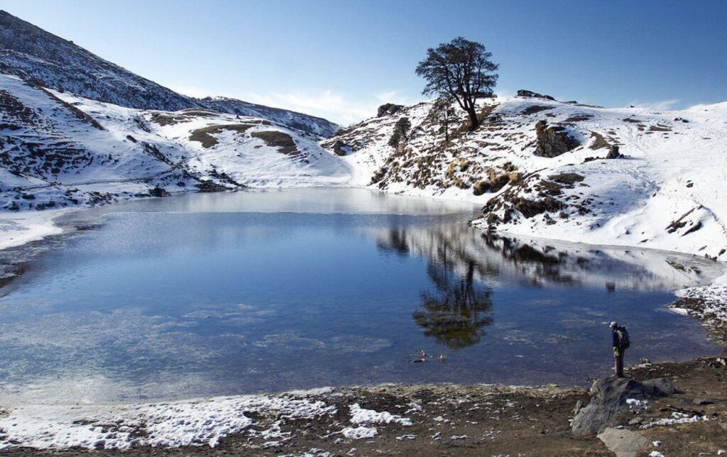
The Brahmatal Trek is famous for its beautiful alpine landscapes, snow-covered forests and views of Trishul and Nanda Ghunti.
The trek generally starts from Lohajung village in Chamoli district. During winter, the route passes through oak and rhododendron forests, open ridges and high-altitude campsites.
Brahmatal is especially attractive for trekkers who want to experience snow camping and mountain scenery.
Brahmatal Trek Details
Location: Chamoli, Uttarakhand
Starting Point: Lohajung
Highest Altitude: Approximately 3,730 metres
Trek Distance: Around 22–25 km
Duration: 5–6 days
Difficulty: Moderate
Brahmatal Weather and Temperature
| Month | Day Temperature | Night Temperature |
|---|---|---|
| December | 0°C to 8°C | -5°C to -10°C |
| January | -3°C to 5°C | -8°C to -15°C |
| February | 0°C to 7°C | -6°C to -12°C |
Snowfall Conditions
December may bring the first substantial snowfall. January and February generally offer better opportunities to experience snowy trails, although actual snow cover depends on weather systems.
What Makes Brahmatal Special?
Beautiful high-altitude lake scenery.
Panoramic views of Trishul and Nanda Ghunti.
Snow-covered forest trails.
Attractive winter camping locations
3. Dayara Bugyal Trek – Best Winter Snow Meadow Experience
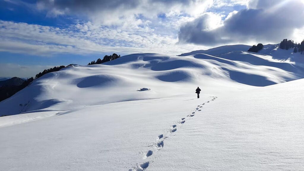
Dayara Bugyal is one of the most beautiful alpine meadows in Uttarakhand. During winter, its wide green grasslands transform into white snowy landscapes.
The trek usually starts from Raithal or Barsu village. It is popular among nature lovers, photographers and people looking for peaceful Himalayan scenery.
Dayara Bugyal Trek Details
-
Location: Uttarkashi, Uttarakhand
-
Starting Point: Raithal or Barsu
-
Highest Altitude: Approximately 3,600–3,650 metres
-
Duration: 4–5 days
-
Difficulty: Easy to Moderate
Dayara Bugyal Weather and Temperature
| Month | Day Temperature | Night Temperature |
|---|---|---|
| December | 2°C to 9°C | -3°C to -8°C |
| January | -1°C to 7°C | -6°C to -12°C |
| February | 1°C to 9°C | -4°C to -10°C |
Why Choose Dayara Bugyal?
The main attraction is its vast open meadow surrounded by Himalayan mountain views. Compared with steep summit routes, much of the experience is about walking through beautiful open landscapes.
4. Kuari Pass Trek – Best Trek for Nanda Devi Mountain Views
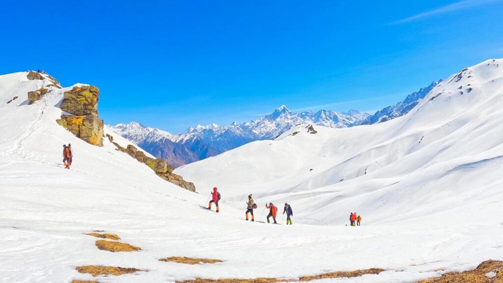
The Kuari Pass is also known as Lord Curzon’s Trail.
It is a beautiful Himalayan trekking route in the Chamoli district. The trek offers incredible views of Nanda Devi, Dronagiri and other prominent Himalayan peaks.
The route generally passes through mountain villages, oak forests and open high-altitude ridges.
Kuari Pass Trek Details
Location: Chamoli, Uttarakhand
Starting Point: Route-dependent villages near Joshimath
Highest Altitude: Approximately 3,815 metres
Trek Distance: Around 20–30 km depending on itinerary
Duration: 4–6 days
Difficulty: Moderate
Kuari Pass Weather and Temperature
| Month | Day Temperature | Night Temperature |
|---|---|---|
| December | 0°C to 8°C | -5°C to -10°C |
| January | -3°C to 5°C | -8°C to -15°C |
| February | 0°C to 7°C | -6°C to -12°C |
Snowfall Conditions
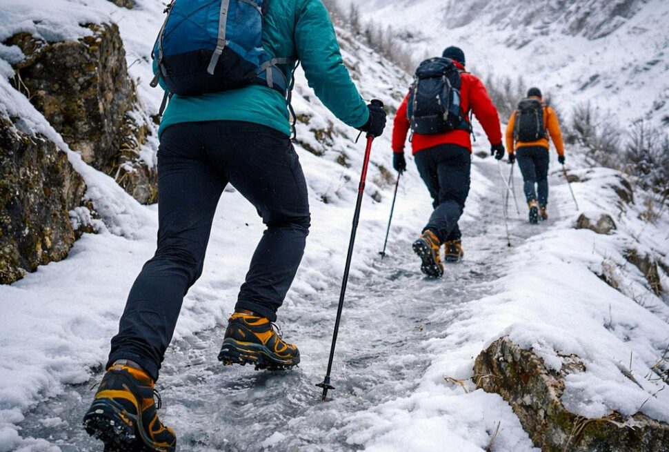
December to February can offer snowy forest trails and beautiful winter mountain scenery. Higher sections may become icy after snowfall.
Why choose Kuari Pass?
Choose Kuari Pass if mountain panoramas are your priority. It offers a different experience from forest-based treks because of its long open sections and impressive views of the Greater Himalayan ranges.
6. Nag Tibba Trek – Best Weekend Winter Trek for Beginners
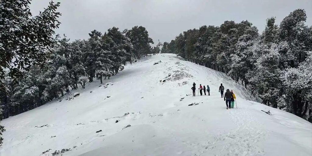
Nag Tibba is a popular short Himalayan trek near Mussoorie.
It is a good option for people who have limited time but want to experience mountain trekking during winter.
The trek generally starts from Pantwari village and passes through forest trails before reaching the summit.
Nag Tibba Trek Details
Location: Tehri Garhwal, Uttarakhand
Starting Point: Pantwari
Highest Altitude: Approximately 3,022 metres
Trek Distance: Around 10–15 km round trip, depending on route
Duration: 2–3 days
Difficulty: Easy to Moderate
Nag Tibba Weather and Temperature
| Month | Day Temperature | Night Temperature |
|---|---|---|
| December | 5°C to 12°C | -2°C to 4°C |
| January | 3°C to 10°C | -4°C to 2°C |
| February | 5°C to 13°C | -2°C to 4°C |
Snowfall Conditions
Snowfall is possible during December, January and February, but it is not guaranteed. Snow conditions can change significantly from one week to another.
Why Visit Nag Tibba?
Suitable for a short weekend adventure.
Beautiful views of Bandarpoonch and surrounding Himalayan peaks.
Forest trekking experience.
Convenient access from Dehradun
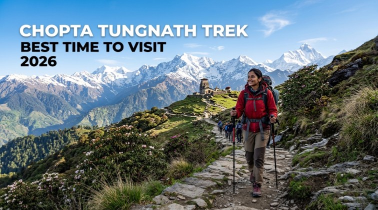
5. Chopta–Tungnath–Chandrashila Trek – Winter Mountains and Temple Experience
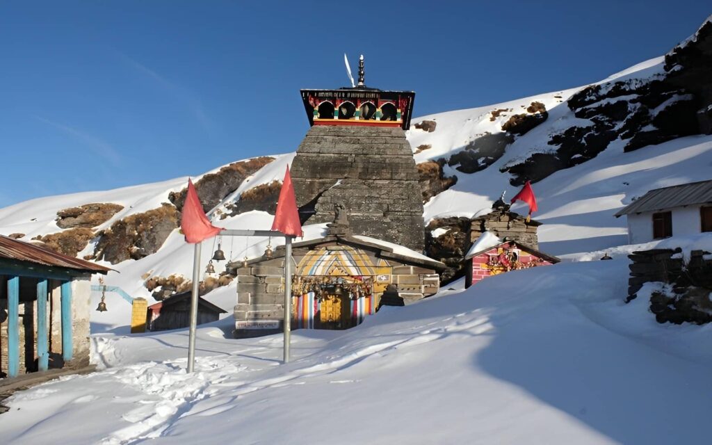
The Chopta region is known for its beautiful Himalayan landscapes and peaceful surroundings.
This trekking route connects Chopta, Tungnath Temple and Chandrashila summit.
Tungnath is recognised as one of the highest Shiva temples in the world. Chandrashila offers beautiful views of Himalayan peaks, including Nanda Devi and Chaukhamba.
Trek Details
Location: Rudraprayag, Uttarakhand
Starting Point: Chopta
Highest Point: Chandrashila, approximately 3,690 metres
Trek Distance: Around 8–10 km round trip, depending on route
Duration: 3–4 days including travel
Difficulty: Moderate in winter conditions
Weather and Temperature
Weather and Temperature
| Month | Day Temperature | Night Temperature |
|---|---|---|
| December | 2°C to 10°C | -4°C to 2°C |
| January | -1°C to 7°C | -6°C to 0°C |
| February | 1°C to 9°C | -5°C to 1°C |
Snowfall Conditions
Chopta and Tungnath can receive snowfall during winter. January and February may offer better opportunities for snow-covered trails.
Heavy snowfall can affect temple access and the final Chandrashila climb. Always check local access conditions before travelling.
Why choose this trek?
It is an excellent option for people who want a short Himalayan winter trip with mountain views, forest trails and cultural significance.
Explore the routes:
Uttarakhand Tourism describes the approximately 3 km Chopta–Tungnath section and the additional steep ascent towards Chandrashila, particularly highlighting the challenges of winter snow
7. Sandakphu Trek – Best Winter Trek for Kanchenjunga and Everest Views
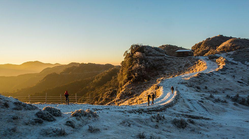
Sandakphu is one of the most famous trekking destinations in the Singalila region of West Bengal.
The trek is particularly famous for its mountain views. On clear days, trekkers can see the Himalayan giants, including Kanchenjunga and Everest.
The route passes through beautiful mountain villages, forest sections and the Singalila Ridge.
Sandakphu Trek Details
Location: Darjeeling district, West Bengal
Starting Point: Manebhanjan
Highest Altitude: Approximately 3,636 metres
Duration: 5–7 days
Difficulty: Moderate
Sandakphu Weather and Temperature
| Month | Day Temperature | Night Temperature |
|---|---|---|
| December | 2°C to 8°C | -5°C to 0°C |
| January | 0°C to 6°C | -7°C to -2°C |
| February | 2°C to 8°C | -5°C to 0°C |
Snowfall Conditions
Snowfall can occur during winter, but snow cover is variable. Some seasons receive limited snowfall, so do not plan the trek assuming that the entire route will be covered in snow.
8. Chadar Trek – India's Unique Frozen River Trek
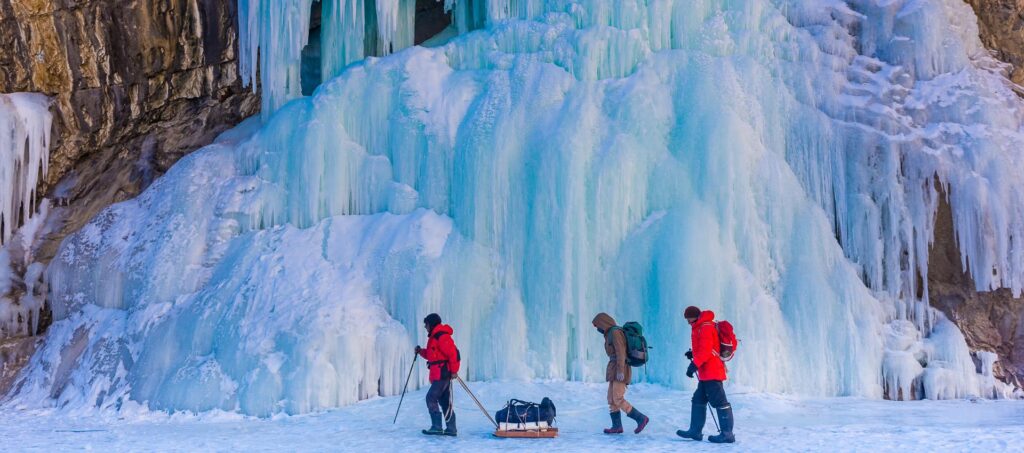
The Chadar Trek is one of India’s most unusual winter trekking experiences.
Unlike traditional Himalayan treks, this route involves walking along sections of the frozen Zanskar River.
The landscape includes frozen waterfalls, dramatic ice formations and towering rocky cliffs.
Chadar Trek Details
Location: Zanskar, Ladakh
Starting Region: Near Leh
Approximate Altitude: 3,300–3,400 metres
Duration: Around 8–9 days, depending on itinerary
Difficulty: Difficult
Weather and Temperature
| Month | Day Temperature | Night Temperature |
|---|---|---|
| January | -5°C to 5°C | -15°C to -25°C |
| February | -2°C to 8°C | -12°C to -22°C |
These are broad planning estimates for the region; actual river conditions and temperatures must be checked locally.
Why choose Chadar Trek?
This expedition is best suited to experienced and physically prepared trekkers who want a distinctive winter adventure.
It requires proper acclimatisation, suitable insulated equipment, local expertise and compliance with current administrative regulations.
Before planning the expedition, check the latest official instructions from the Leh District Administration, which publishes Chadar Trek standard operating procedures and regulations
9. Gulabi Kantha Trek – A Less-Explored Winter Snow Trek
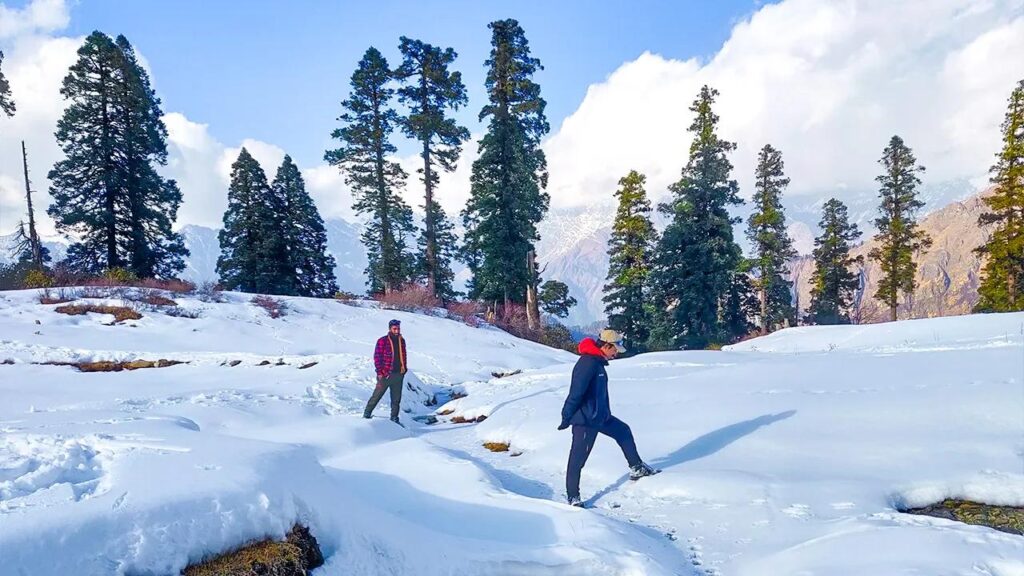
The Gulabi Kantha Trek is a comparatively less-explored Himalayan trekking destination in Uttarkashi district.
It is known for its open meadows, forest landscapes and panoramic views of the surrounding Himalayan mountains.
The trek generally starts around the Hanuman Chatti region and passes through forest trails, campsites and high-altitude meadows before reaching the Gulabi Kantha summit.
Gulabi Kantha Trek highlights
Location: Uttarkashi, Uttarakhand
Base region: Hanuman Chatti
Highest altitude: Approximately 4,000 m
Trekking distance: Approximately 20–28 km, depending on itinerary
Duration: 5–7 days
Difficulty: Moderate
Best winter months: December to February, subject to route access
Winter weather and snowfall
Winter conditions can bring substantial snow to the higher sections. The exposed summit and high camps may experience freezing temperatures and strong winds.
Because this is a less-standardised route, confirm the exact trail, camping locations, highest sleeping altitude and current local access before booking.
Why choose Gulabi Kantha?
It is worth considering for trekkers seeking a quieter winter destination with open mountain landscapes and a less-crowded trekking experience.
However, its altitude and long summit-day variations mean it should not automatically be treated as an easy beginner trek
Gulabi Kantha Winter Temperature
| Month | Day Temperature | Night Temperature |
|---|---|---|
| December | 0°C to 8°C | -10°C to -5°C |
| January | -2°C to 5°C | -12°C to -6°C |
| February | -1°C to 7°C | -10°C to -5°C |
Weather Conditions
| Weather Factor | Expected Conditions |
|---|---|
| Day Weather | Cold and sunny |
| Night Weather | Extremely cold |
| Snowfall | Possible to heavy |
| Higher Camps | Snow-covered |
| Trail Conditions | Snowy and icy |
| Wind | Cold mountain winds |
10. Har Ki Dun Trek – Best Winter Valley and Village Experience
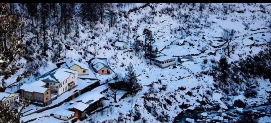
The Har Ki Dun Trek is a beautiful journey into one of the most scenic valleys of the Garhwal Himalayas.
Unlike summit-focused treks, Har Ki Dun is famous for its ancient Himalayan villages, traditional wooden houses, river landscapes and mountain scenery.
The trek begins from Sankri and follows the Supin River valley through villages such as Osla and Seema before reaching the Har Ki Dun valley.
The surrounding mountains include Swargarohini and other peaks of the western Garhwal Himalayas.
Har Ki Dun Trek highlights
Location: Uttarkashi, Uttarakhand
Base village: Sankri
Highest altitude: Approximately 3,566 m
Trekking distance: Approximately 38–45 km, depending on route
Duration: 6–7 days
Difficulty: Easy to moderate
Best winter months: Early December, subject to access and weather
Winter weather and snowfall
Har Ki Dun experiences cold winter conditions, and snow can cover the higher valley sections.
January and February can bring heavy snowfall, making the route more difficult and potentially restricting access to remote villages and campsites.
Unlike Kedarkantha, Har Ki Dun is not always a straightforward winter trekking choice. Its traditional trekking season generally includes spring, summer and autumn, with winter departures requiring careful local assessment.
Why choose Har Ki Dun?
It is an excellent choice for trekkers interested in Himalayan village culture, remote valleys, traditional architecture and mountain scenery rather than a summit-focused adventure.
IRCTC Tourism lists the standard Har Ki Dun itinerary at approximately 38 km and 3,566 metres, with March to November as its published trekking season
Har Ki Dun Winter Temperature
| Month | Day Temperature | Night Temperature |
|---|---|---|
| December | -3°C to 5°C | -10°C to -5°C |
| January | -5°C to 2°C | -12°C to -6°C |
| February | -4°C to 4°C | -11°C to -5°C |
Conclusion
India offers winter treks for almost every kind of mountain traveller, from short weekend trails to challenging high-altitude expeditions. Kedarkantha, Brahmatal and Dayara Bugyal are popular choices for snow-covered landscapes, while Kuari Pass offers impressive Himalayan views. Nag Tibba suits shorter trips, and Chadar is reserved for experienced adventurers prepared for extreme winter conditions.
Before choosing your trek for 2026–27, check the latest snowfall, route accessibility, weather forecast and local permissions. The best winter trek is not simply the one with the most snow—it is the one that matches your experience, fitness and safety needs.