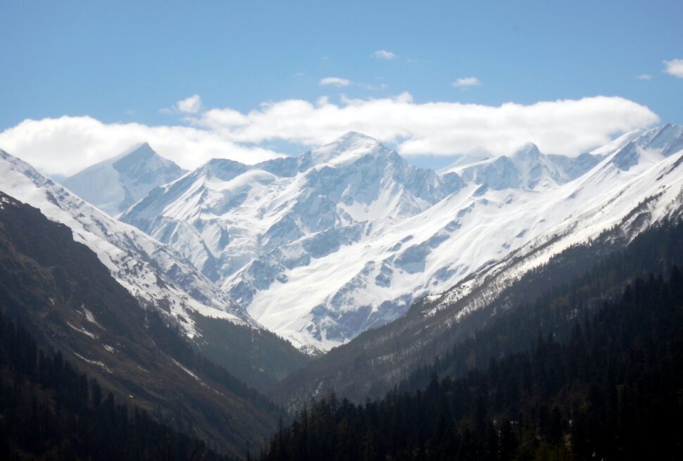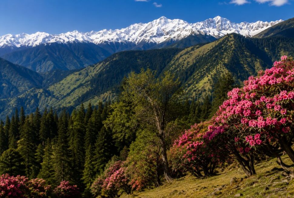
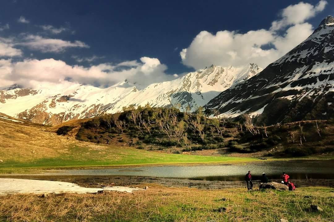
Tucked into the far north-western corner of Uttarakhand, right where the state touches Himachal Pradesh, lies one of the most under-appreciated protected areas in the Indian Himalaya. Govind Pashu Vihar National Park and Wildlife Sanctuary is not a place for jeep safaris and tiger sightings. It is a vertical wilderness of river gorges, oak and cedar forests, high meadows, glacial lakes and snow peaks above 6,000 metres, and it is the starting canvas for some of the best-loved treks in India.
If you are searching for which Himalayan treks start from Govind Pashu Vihar, how big and how high the park is, what wildlife lives here, or when to go, this guide answers all of it in one place.
What Is Govind Pashu Vihar National Park and Sanctuary?
Govind Pashu Vihar is a protected area in Purola tehsil of Uttarkashi district, Uttarakhand. It was first notified as a wildlife sanctuary in 1955, and a core portion was later upgraded to national park status around 1990-91. It is named after Bharat Ratna Pandit Govind Ballabh Pant, the freedom fighter and statesman.
The two designations sit side by side. The national park (roughly 472 sq km) forms the strictly protected core, while the surrounding sanctuary (roughly 481 sq km) is the buffer in which regulated use continues. Together they cover about 958 sq km, which is why you will often see the name written as Govind National Park and Wildlife Sanctuary.
In simple terms: the sanctuary is where mountains, rivers and rare wildlife are protected, and the national park inside it is the most tightly guarded heart of that landscape.
Geography: A Landscape That Climbs Almost 5 Kilometres
The most striking fact about this park is its elevation range. Altitude inside the protected area runs from around 1,400 metres in the river valleys to about 6,323 metres at the highest summits. Very few protected areas in India pack that much vertical change into such a compact area, and it is the reason the park holds so many different habitats.
- Location: Uttarkashi district, Uttarakhand, in the Western Himalaya, about 225 km north of Dehradun by road distance from the state capital region.
- Northern boundary: The park merges into Himachal Pradesh along high ridges, including the Changshil Dhar ridge on the interstate border.
- Rivers: The Rupin and Supin valleys drain the park and join to form the Tons River, the largest tributary of the Yamuna in its upper reaches. This makes Govind Pashu Vihar an important water catchment for a huge downstream population.
- Ranges inside the park: The Supin, Rupin and Sankri areas, each with its own valleys and trek routes.
- Climate: Lower valleys receive heavy monsoon rain (around 1,500 mm, mostly in July and August), while winters at altitude bring extreme cold and three to four months of snow cover.
- Peaks you can see: Swargarohini (about 6,252 m), Bandarpoonch (about 6,316 m) and Kalanag or Black Peak (about 6,387 m) dominate the high skyline on routes like Bali Pass.
- Lakes and meadows: The park is dotted with high-altitude lakes called taals (such as Ruinsara Tal, Juda Ka Talab, Bharaisar Tal, Maninda Tal) and alpine meadows called bugyals.
Because the park links up with neighbouring forest ranges and protected areas across the state border, ecologists treat the wider region as an important corridor for Himalayan wildlife.
Wildlife and Biodiversity: What Do Nature Lovers Find Here?
The altitude range creates distinct life zones, from subtropical and temperate forest at the bottom to alpine scrub and rock at the top. Forest department and research surveys have recorded a strong list of species, and the area is recognised as an important place for snow leopard conservation. The Government of India’s Snow Leopard Project is managed here.
Mammals
Depending on altitude and season, the park supports Himalayan black bear, brown bear, common leopard, Himalayan musk deer, Himalayan tahr, serow, goral, bharal (blue sheep) and the elusive snow leopard. Most of these animals are shy, nocturnal or live far from trails, so the honest expectation for trekkers is signs, tracks, droppings and the odd distant sighting rather than guaranteed encounters.
Birds
This is a genuine birdwatching destination. Older field surveys counted about 100 bird species, while newer summaries report more than 150, and ornithologists believe more remain to be documented. Pheasants are a highlight: the western tragopan, Himalayan monal, koklass pheasant and snow partridge are the birds serious birders hope for. Expect Himalayan griffon vultures overhead and many forest songbirds in spring.
Butterflies and Insects
Researchers have recorded around 70 species of butterflies in the area, which peak in the warm months in the lower and middle valleys.
Forests, Flowers and Medicinal Plants
- Lower and middle zone: Chir pine, oak and deodar (Himalayan cedar), with blue pine, spruce and silver fir higher up.
- Subalpine zone: Birch and rhododendron, which bloom pink and red in spring and early summer.
- Alpine zone: Open meadows, hardy herbs and flowers such as gentians and potentillas, plus many species used in Ayurveda and local healing traditions.
Villages and Culture Inside the Landscape
The park is not empty wilderness. Old wooden villages such as Osla, Gangaad and Taluka sit along the Har Ki Dun valley, built in the traditional Himalayan style with carved wood and stone. Locals of the Tons valley maintain strong traditions tied to the deity Someshwar (Duryodhana is worshipped in some villages) and to the Mahabharata, which gives every trek a cultural layer along with the natural one. Sankri is the main base village for most treks, and Netwar (Naitwar) works as the other main gateway.
Treks That Start from Govind Pashu Vihar
Here is the section most trekkers are looking for. Almost every classic trek in this region begins from Sankri (about 1,950-2,000 m), reached by a long but scenic drive from Dehradun via Mussoorie, Purola and Mori. Below is a plain-language summary of each major route, ordered roughly from easiest to hardest. Altitudes and distances are approximate and vary slightly between operators and seasons.
1. Kedarkantha Trek
- Highest point: about 3,800 m (over 12,500 ft)
- Duration: 5-6 days
- Difficulty: Easy to moderate
- Best time: December to April for snow; also May-June and September-October for green meadows and clear views
Kedarkantha is the most popular winter trek in India for a reason. Thick pine and oak forests, a frozen lake at Juda Ka Talab, a snow-covered campsite and a summit with a wide panorama of the Swargarohini, Bandarpoonch and Black Peak group make it a reliable first Himalayan trek. It sits on the southern edge of the park and is the gentlest introduction to the region.
2. Dev Kyara Trek
- Highest point: Kyara Top, about 3,850 m
- Duration: about 4-5 days
- Difficulty: Moderate
A quieter alternative for people who want meadows and forest without the crowds. The route leads through ridge-top grassland and holds some of the best views of the Supin valley.
3. Har Ki Dun Trek
- Highest point: about 3,500 m (Har Ki Dun valley)
- Duration: 6-7 days
- Difficulty: Easy to moderate
- Best time: April to June and September to November
Har Ki Dun, meaning Valley of the Gods, is often called the cradle of the Supin range. The trail follows the Supin river past Taluka, Gangaad and Osla, then opens into a broad hanging valley below Swargarohini. Side trips lead to Maninda Tal and the Jaundhar glacier. This trek combines culture, wildlife and mountain views better than almost any other in Uttarakhand, and it is suitable for families with fit children and first-time trekkers who have prepared.
4. Ruinsara Tal Trek
- Altitude: about 3,500 m
- Duration: usually done as an extension of Har Ki Dun, 7-8 days in total
- Difficulty: Moderate
Ruinsara Tal is an alpine lake framed by rhododendron and birch, set beyond the busiest campsites. It sits on the way to Bali Pass and the Dhumdhar Kandi route, and it is also a favourite stop for bird and flower enthusiasts.
5. Borasu Pass Trek
- Highest point: around 5,400 m (check with your operator for the exact season figure)
- Duration: 9-10 days
- Difficulty: Difficult
Borasu Pass is an extension of the Har Ki Dun route that continues north along the Maninda Gad river, then crosses over the Himachal border into the Baspa valley and Chitkul. It is demanding, remote and only for fit trekkers with prior high-altitude experience.
6. Bali Pass Trek
- Highest point: about 4,900 m (roughly 16,000 ft)
- Distance: around 50-60 km from Taluka to Janki Chatti
- Duration: 7-9 days
- Difficulty: Difficult
- Best time: Mid-May to June and mid-September to October
Bali Pass connects the Har Ki Dun and Ruinsara valleys to the Yamunotri valley. It is the signature crossover trek of Govind Pashu Vihar: you climb into the park through heritage villages, camp at Ruinsara Tal, cross a steep moraine ascent to Bali Pass base camp, then drop to Yamunotri. Trekkers walk to the foot of Swargarohini, Bandarpoonch and Kalanag instead of simply seeing them from a distance. This is not a beginner trek, and acclimatisation is critical.
7. Rupin Pass and Phulara Ridge (Nearby Options)
The Rupin valley and Phulara Ridge are neighbouring routes that are also started from the Sankri and Dhaula region and share the same landscape and logistics, so many trekkers combine them in their plan. Check the exact route boundaries with your operator, as only some sections fall inside the park limits.
Quick Comparison: Which Trek Should You Choose?
- First Himalayan trek or winter snow: Kedarkantha
- Culture, valleys and wildlife with moderate effort: Har Ki Dun
- A beautiful lake and fewer people: Ruinsara Tal
- Adventure with a real mountain pass: Bali Pass
- Remote expedition across to Himachal: Borasu Pass
Best Time to Visit Govind Pashu Vihar
The park is generally accessible from April to November, with different seasons suiting different goals.
- December to March: Snow season. Ideal for Kedarkantha and winter landscapes. High routes such as Bali Pass and Borasu are closed.
- April to June: Warm days, blooming rhododendron, good for Har Ki Dun and early passes. Mid-May to June is the main season for high passes.
- July to August: Monsoon. Heavy rain, landslides and slippery trails. Not recommended for trekking, although the forests are intensely green.
- September to November: Post-monsoon clarity. Crisp air, clean skies and the best mountain views, with comfortable temperatures that fall sharply by late autumn.
How to Reach Govind Pashu Vihar
- Nearest airport: Jolly Grant Airport, Dehradun
- Nearest railhead: Dehradun railway station
- By road: Dehradun to Sankri is roughly 190-220 km and usually takes 8-10 hours via Mussoorie, Naugaon, Purola and Mori. Sankri is the gateway for Har Ki Dun, Kedarkantha, Bali Pass and Borasu Pass.
- Other entry points: Naitwar (Netwar), where an official check post marks entry into the sanctuary, and the town of Dharkarhi on the Supin range side.
Roads in the upper section end at Taluka, after which everything is on foot.
Permits, Rules and Responsible Trekking
- A forest department entry permit and trekking permission are required for the national park and sanctuary. A registered trekking operator usually arranges this, and you should carry valid ID.
- Camping is allowed only at designated sites.
- Carry out all non-biodegradable waste. Plastic and food waste harm wildlife and fragile alpine meadows.
- Do not feed wild animals, play loud music or leave trails.
- Hire local guides and porters. This spreads the benefit of tourism to mountain communities and keeps the park’s conservation case strong.
- Rules, fees and seasonal closures change, so confirm the current details with the forest office or your trek operator before booking.
Essential Packing and Safety Tips
- Waterproof trekking shoes with good ankle support and warm layers, even in summer.
- Rain cover, sun protection and a headlamp.
- Personal medicines and a basic first-aid kit.
- Acclimatise carefully on any route above 3,000 m, and never ignore signs of altitude sickness such as persistent headache, nausea or breathlessness.
- Train with cardio and leg strength for at least a month before a moderate trek and longer for passes.
- Network coverage is patchy to absent beyond Sankri, so tell family your itinerary in advance.
Why Nature Lovers Should Add This Park to Their List
Govind Pashu Vihar rewards people who want depth, not just a summit selfie. In a single trip you can pass old wooden villages, walk beneath cedar and oak, listen for pheasants at dawn, camp beside a glacial lake and look straight at a 6,000-metre peak. It also protects the upper catchment of the Tons and Yamuna, which matters far beyond the mountains, and it remains one of the few places where snow leopard habitat meets trekking trails.
Frequently Asked Questions
Where is Govind Pashu Vihar National Park located? It is in the Purola area of Uttarkashi district in Uttarakhand, near the border with Himachal Pradesh.
How big is the park? The combined national park and sanctuary cover about 958 square kilometres.
Which treks start from Govind Pashu Vihar? The main ones are Kedarkantha, Har Ki Dun, Ruinsara Tal, Bali Pass, Borasu Pass and Dev Kyara, mostly starting from Sankri.
Can you see a snow leopard here? The area is important snow leopard habitat, but sightings are extremely rare. Treat it as a bonus, not an expectation.
What is the best time to visit? April to June and September to November for most treks, and December to March for snow treks like Kedarkantha.
Is Govind Pashu Vihar good for beginners? Yes. Kedarkantha and Har Ki Dun are beginner-friendly with proper fitness, while Bali Pass and Borasu Pass need prior experience.
Do I need a permit? Yes. Entry into the park requires forest department permission, usually organised by your trek operator.
Plan Your Govind Pashu Vihar Trek with Trektonic Adventures
Whether you want a first snow trek, a valley walk to Har Ki Dun or a serious crossing of Bali Pass, the right planning, local guides and safety support make the difference. Get in touch with Trektonic Adventures to build a trek that matches your fitness, season and time.